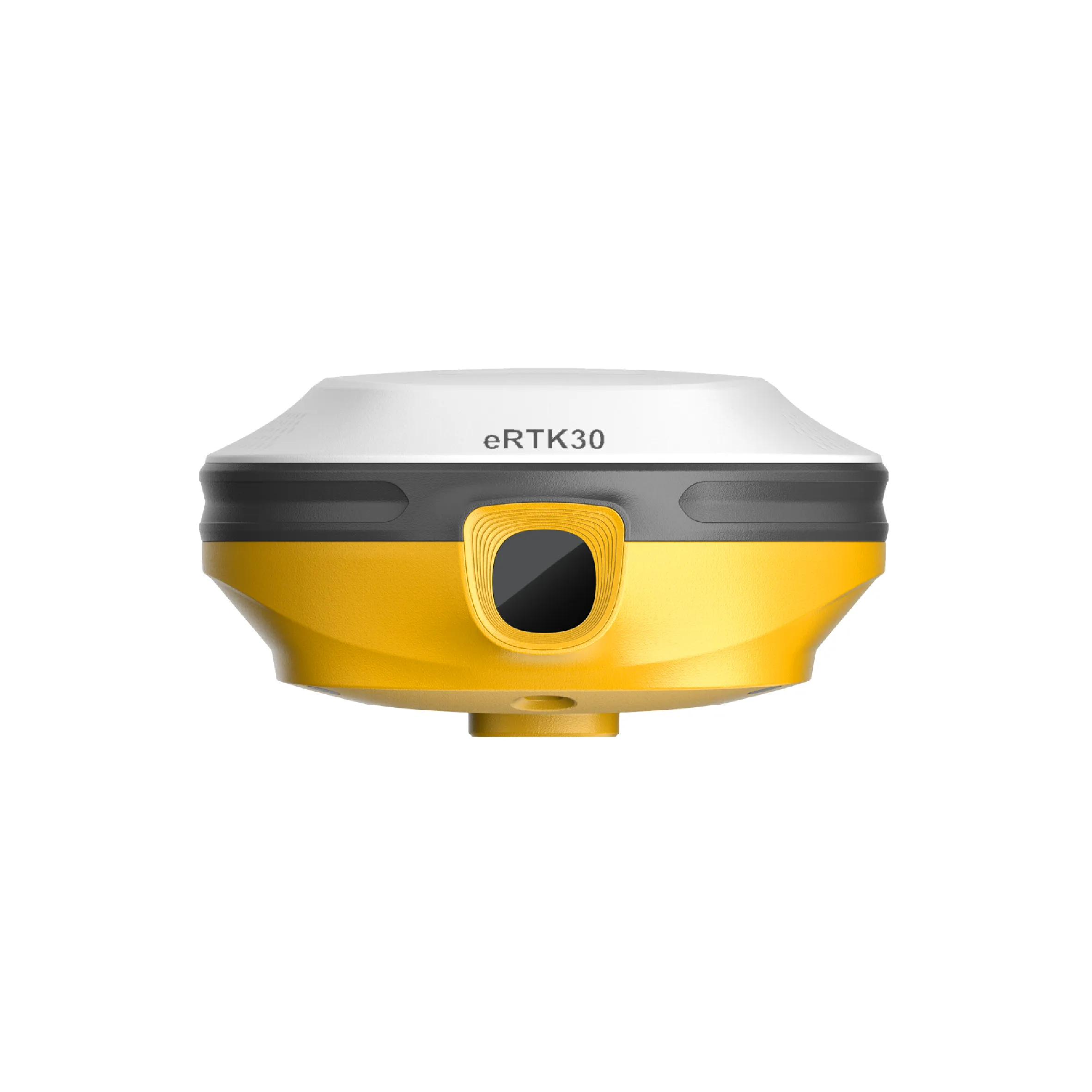

eSurvey eRTK30
The eRTK30 is a GNSS receiver that integrates dual-camera technology to perform visual measurements without needing physical access to points. It offers accuracy in difficult terrain, with multi-constellation tracking capabilities (GPS, GLONASS, Galileo, among others).
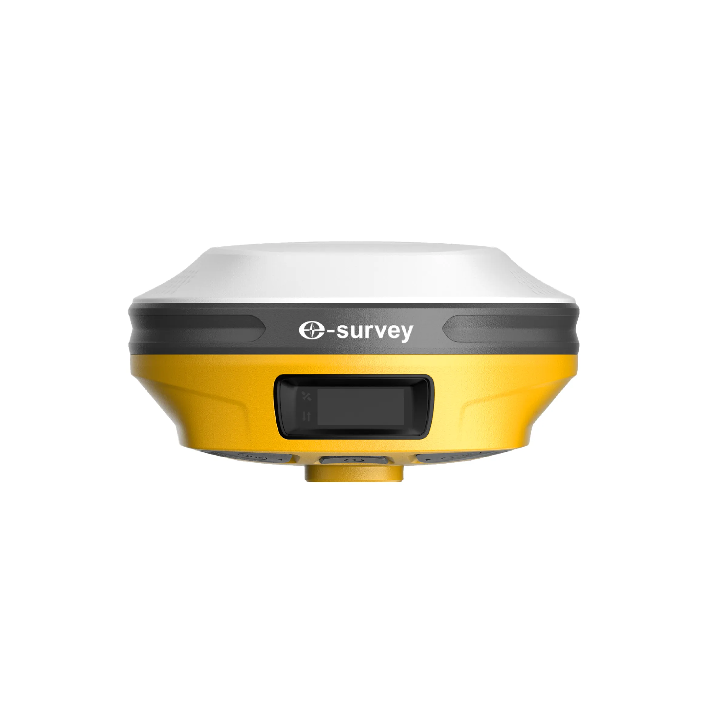
eSurvey eRTK30 GNSS Receiver
The eSurvey eRTK30 GNSS receiver integrates dual-camera technology, expanding the application range of a centimetric GPS. Its visual surveying technology allows you to measure points without physically reaching them. This provides you with flexibility in the field and maximizes productivity on your projects. It also incorporates immersive 3D stakeout, which helps you perform stakeout more quickly and improves your work efficiency. The eRTK30 is a perfect choice for various surveying applications.
Visual Survey: Measure What You See
Visual positioning technology provides precise positioning coordinates from images and videos captured in seconds. Measure what you see and obtain coordinates of points that were previously inaccessible, or located where the GNSS signal was blocked or had poor reception.
CAD Redevelopment with Augmented Reality: Improved Efficiency
The eRTK30 offers an immersive and intuitive site perspective for stakeout. AR CAD stakeout is a very effective tool for optimizing stakeout operations and simplifying complex construction tasks, in a variety of scenarios.
Tilt correction of up to 60º: a different way to work
Quickly spot points, precisely, without needing to level the pole.
Focus solely on where the stake tip should go, which is especially useful during staking out.
Easily perform surveys and stakeouts in hard-to-reach environments, such as building corners and slopes.
You won't have to worry about the equipment moving while measuring, as long as the prism pole tip is fixed.
Technical specifications
| GNSS Performance | Details |
|---|---|
| GPS | L1 C/A, L1C, L2P (Y), L2C, L5 |
| BDS | B1I, B2I, B3I, B1C, B2A, B2b |
| GLONASS | L1, L2, L3 |
| Galileo | E1, E5a, E5b, E6 |
| QZSS | L1, L2, L5 |
| NavIC | L5 |
| Satellite-Based Augmentation System | WAAS, GAGAN, MSAS, EGNOS, SDCM, BDS |
| L-band | B2b PPP (Asia-Pacific Region Only) |
| Channels | 1408 |
| Signal reacquisition | Less than 1 second |
| Cold start | Under 30 seconds |
| Hot start | Less than 5 seconds |
| Warm start | Less than 20 seconds |
| RTK signal initialization | Less than 5 seconds |
| Initialization reliability | > 99.9% |
| Refresh rate | 20 Hz |
| High static precision | H: 2.5 mm + 0.1 ppm (RMS), V: 3.5 mm + 0.4 ppm (RMS) |
| Static and quick static | H: 2.5 mm + 0.5 ppm (RMS), V: 5 mm + 0.5 ppm (RMS) |
| RTK | H: 8 mm + 1 ppm (RMS), V: 15 mm + 1 ppm (RMS) |
| Standard point positioning | H: 1.5 m (RMS), V: 2.5 m (RMS) |
| Code differential | H: 0.4 m (RMS), V: 0.8 m (RMS) |
| Satellite-Based Augmentation System | H: 0.3 m (RMS), V: 0.6 m (RMS) |
| Correction data | RTCM V3.X, RTCM2.X, CMR |
| Data output | GGA, ZDA, GSA, GSV, GST, VTG, RMC, GLL, Binary |


Reviews
There are no reviews yet.