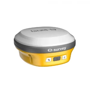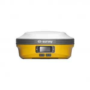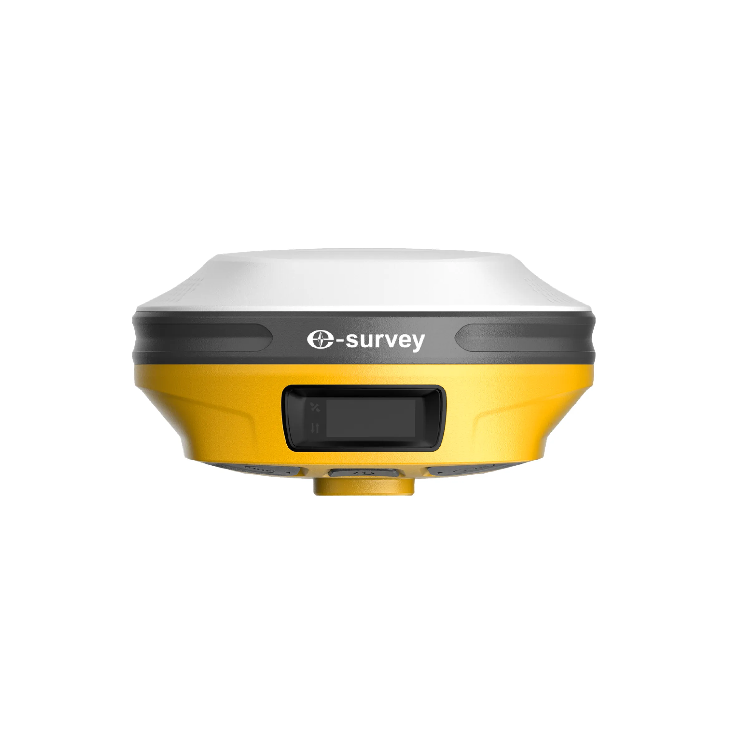
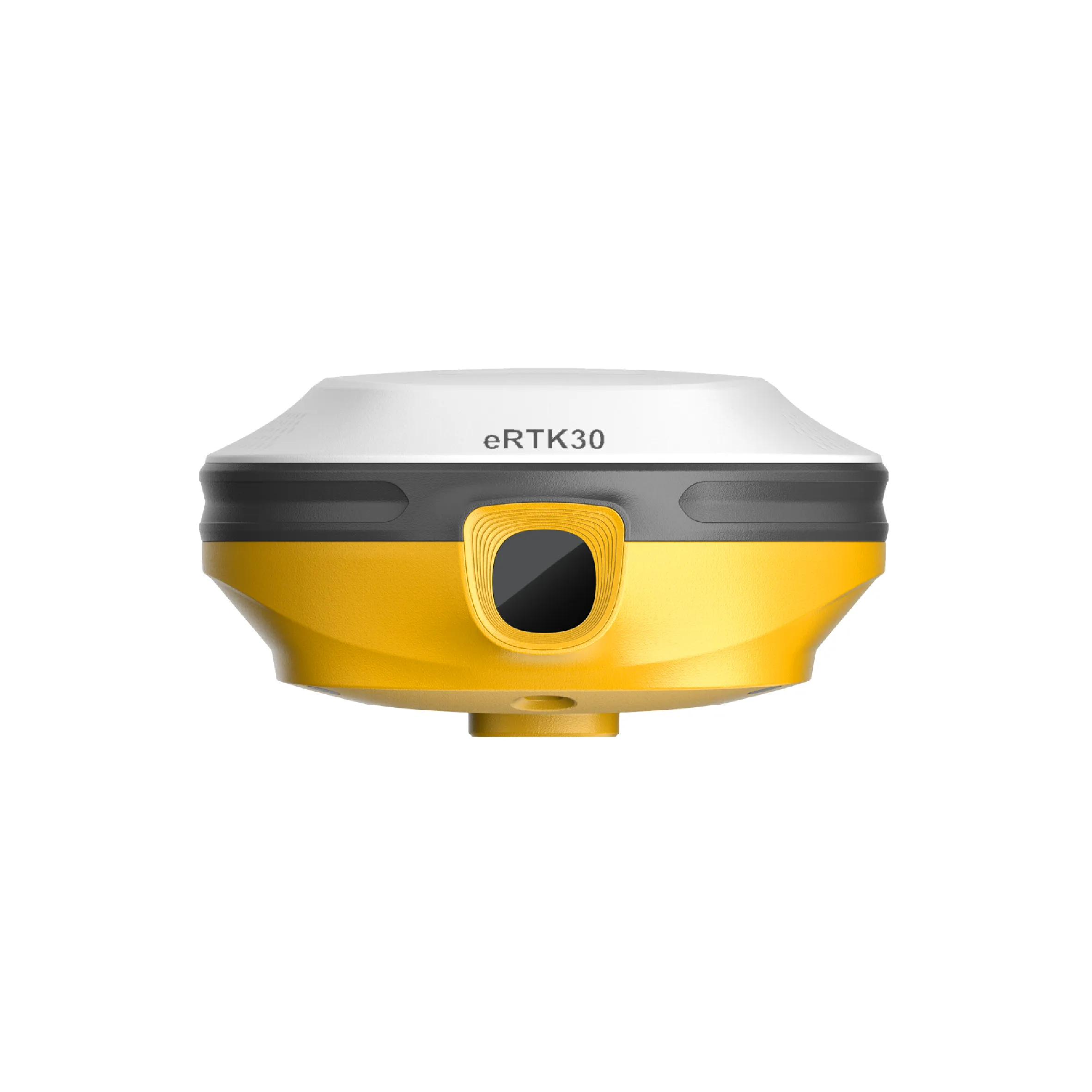
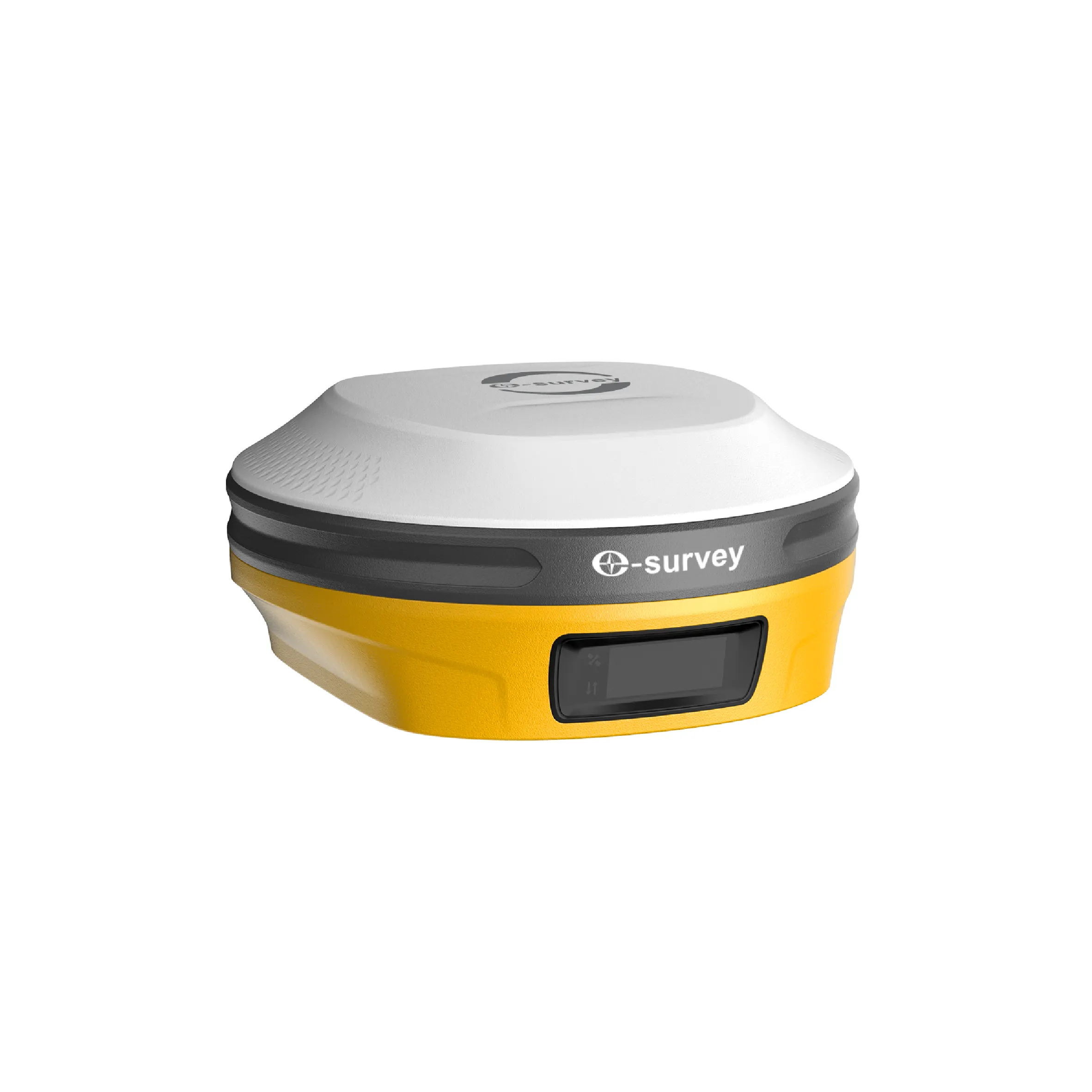
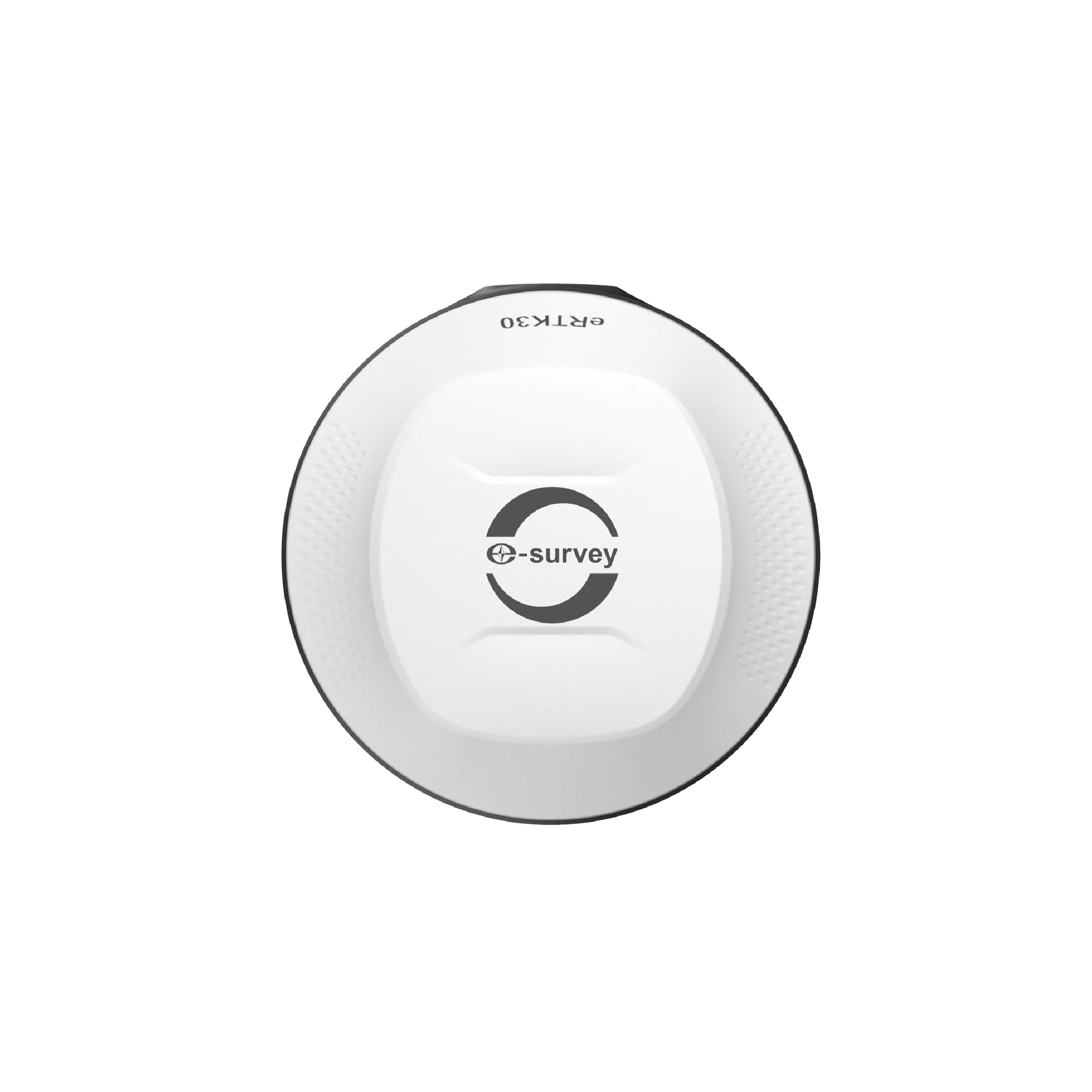
eSurvey eRTK30
The eRTK30 is a GNSS receiver that integrates dual-camera technology to perform visual measurements without needing physical access to points. It offers accuracy in difficult terrain, with multi-constellation tracking capabilities (GPS, GLONASS, Galileo, among others).
eSurvey eRTK30 GNSS Receiver
El receptor GNSS eRTK30 de eSurvey integra la tecnología de doble cámara, lo que permite ampliar el rango de aplicaciones de un GPS centimétrico. Su tecnología de levantamiento visual le permite medir el punto sin llegar físicamente a él. Esto le brinda flexibilidad en el campo, y maximiza la productividad en sus proyectos. Incorpora además el replanteo 3D inmersivo, que lo ayuda a realizar el replanteo con mayor rapidez y mejora su eficiencia laboral. El eRTK30 es una opción perfecta para diversas aplicaciones topográficas.
Visual Survey: Measure What You See
La tecnología de levantamiento visual proporciona coordenadas de posicionamiento precisas, a partir de imágenes y videos, capturados en segundos. Mida lo que ve y obtenga las coordenadas de puntos a los que antes no se podía acceder, o situados donde la señal GNSS estaba bloqueada o tenía mala recepción.
CAD Redevelopment with Augmented Reality: Improved Efficiency
El eRTK30 ofrece una perspectiva inmersiva e intuitiva del sitio para implementar el replanteo. El replanteo CAD AR es una herramienta muy eficaz para optimizar las operaciones de replanteo y simplificar tareas de construcción complejas, en una variedad de escenarios.
Tilt correction of up to 60º: a different way to work
- Mide rápidamente puntos, de manera precisa, sin necesidad de nivelar el jalón.
- Concéntrate únicamente en dónde debe ir la punta del jalón, lo cual es especialmente útil durante el replanteo.
- Ejecuta fácilmente levantamientos y replanteos en entornos de difícil alcance, como esquinas de edificios, y pendientes.
- You won't have to worry about the equipment moving while measuring, as long as the prism pole tip is fixed.
Technical specifications
| GNSS Performance | Details |
|---|---|
| GPS | L1 C/A, L1C, L2P (Y), L2C, L5 |
| BDS | B1I, B2I, B3I, B1C, B2A, B2b |
| GLONASS | L1, L2, L3 |
| Galileo | E1, E5a, E5b, E6 |
| QZSS | L1, L2, L5 |
| NavIC | L5 |
| Satellite-Based Augmentation System | WAAS, GAGAN, MSAS, EGNOS, SDCM, BDS |
| L-band | B2b PPP (Asia-Pacific Region Only) |
| Channels | 1408 |
| Signal reacquisition | Less than 1 second |
| Cold start | Under 30 seconds |
| Hot start | Less than 5 seconds |
| Warm start | Less than 20 seconds |
| RTK signal initialization | Less than 5 seconds |
| Initialization reliability | > 99.9% |
| Refresh rate | 20 Hz |
| High static precision | H: 2.5 mm + 0.1 ppm (RMS), V: 3.5 mm + 0.4 ppm (RMS) |
| Static and quick static | H: 2.5 mm + 0.5 ppm (RMS), V: 5 mm + 0.5 ppm (RMS) |
| RTK | H: 8 mm + 1 ppm (RMS), V: 15 mm + 1 ppm (RMS) |
| Standard point positioning | H: 1.5 m (RMS), V: 2.5 m (RMS) |
| Code differential | H: 0.4 m (RMS), V: 0.8 m (RMS) |
| Satellite-Based Augmentation System | H: 0.3 m (RMS), V: 0.6 m (RMS) |
| Correction data | RTCM V3.X, RTCM2.X, CMR |
| Data output | GGA, ZDA, GSA, GSV, GST, VTG, RMC, GLL, Binary |